What Summit & Wasatch County Owners Need to Know About Wildfire Risk
If you own property in Park City, Summit County, or Wasatch County, there’s something important you should check right now:
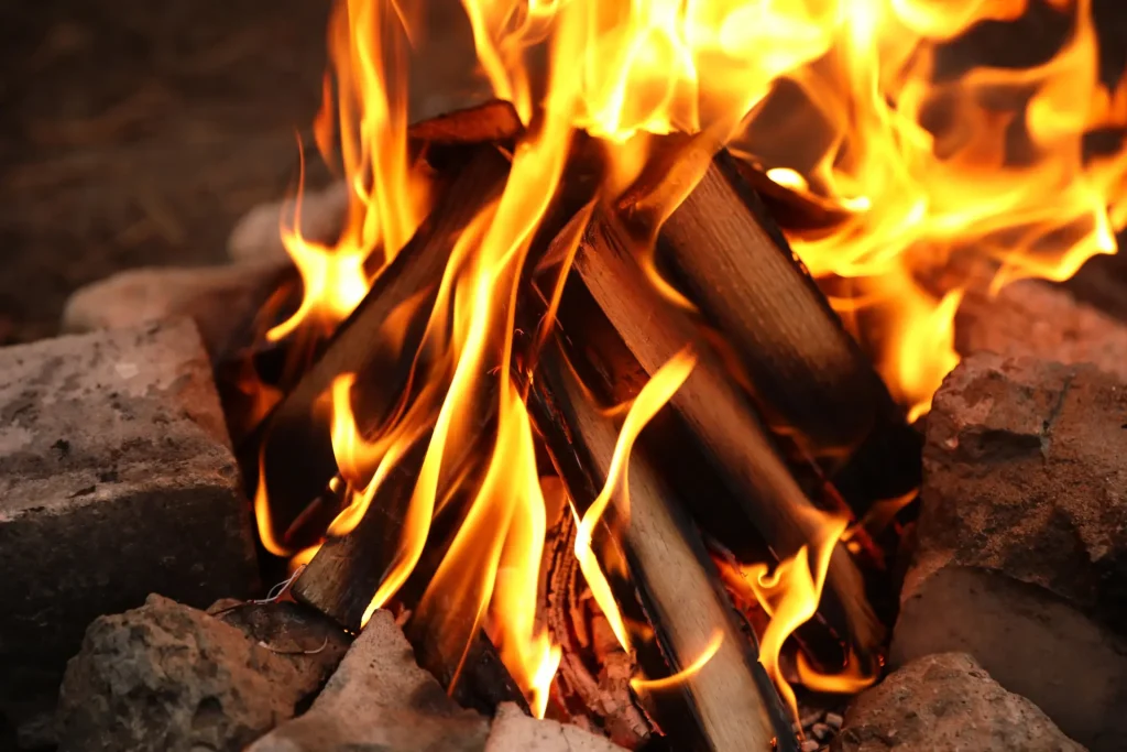
Is your home located in a high-risk wildfire zone?
Utah has officially released a new Wildland-Urban Interface (WUI) map, and it may impact everything from wildfire mitigation planning to insurance costs and new state fees. I recently entered my own address into the system and was surprised to learn my home is considered high risk.
What Is the New Utah Wildfire Risk Map?
On December 18, 2025, the Utah Division of Forestry, Fire & State Lands (under the Utah Department of Natural Resources) released an official High-Risk Wildland-Urban Interface (WUI) Map as required by House Bill 48 (HB 48).
HB 48 requires the state to formally identify areas where residential development meets undeveloped wilderness — commonly referred to as the Wildland-Urban Interface, or WUI. As Summit and Wasatch Counties continue to grow, more communities are expanding into these interface areas — increasing wildfire exposure.
How to Check Your Park City Wildfire Risk
Utah has made this process easy for homeowners.
The Utah Wildfire Risk Assessment Portal (UWRAP) is a free online tool that allows you to:
- Search your property address
- View wildfire risk classifications
- Explore interactive wildfire risk maps
- Access mitigation recommendations
- Learn how to reduce your vulnerability
You can access the portal here.
There is also a statewide interactive WUI map available here.
This tool is likely to become increasingly important for both buyers and sellers in the Park City real estate market.
What Happens If Your Home Is in a High-Risk WUI Area?
Beginning next year, homes located in designated high-risk WUI zones will be required to pay into the Utah Wildfire Fund.
- The fee applies to taxable structures only (not vacant land).
- Communities may be partially included — meaning some homes in a neighborhood may pay while others do not.
Examples:
- Portions of Upper Summit Park are included, while homes below I-80 may be excluded.
- In communities like Promontory and Tuhaye, some homes fall inside the boundary while others sit outside it.
- The populated cores of Park City, Kimball Junction, and Heber City are largely exempt.
At the time of release, exact fees had not been finalized, but Summit County previously estimated they could range from $20 to $100 annually.
Impact on Homeowners Insurance
Insurance companies will now be required to use this standardized WUI map to classify structures as “High-Risk Wildland-Urban Interface.”
For homeowners in Summit and Wasatch Counties, this could affect:
- Insurance premiums
- Coverage availability
- Underwriting requirements
- Required mitigation steps
Given how sensitive the insurance market already is in mountain communities, this is something both homeowners and prospective buyers should understand.
Why This Matters for Park City Real Estate
Wildfire risk is no longer an abstract concept. It is now mapped, categorized, and regulated at the state level.
Living in the mountains is part of what makes Park City so special, but it also comes with responsibility. As our community grows deeper into wilderness areas, wildfire preparedness will continue to be part of the conversation for homeowners, buyers, and sellers alike.